The path starts in the Fegina area and on the right goes upwards to the famous Statue of the Giant, one of the first sculptures in reinforced cement dating from 1910. It is 14 metres high and represents Neptune. It was created by the sculptor Arrigo Minerbi and Engineer Levacher. The steps proceed upwards by the Sailing Club and continue on a road open to vehicles up to a hotel. Note the typical colours of the rocks on this headland: Serpentine is a metamorphic rock with greenish veins that approximately 150 million years ago emerged from the deepest layers of the Earth and solidified. Over the centuries, it was widely used as an alternative to white marble to decorate the facades of Ligurian churches.
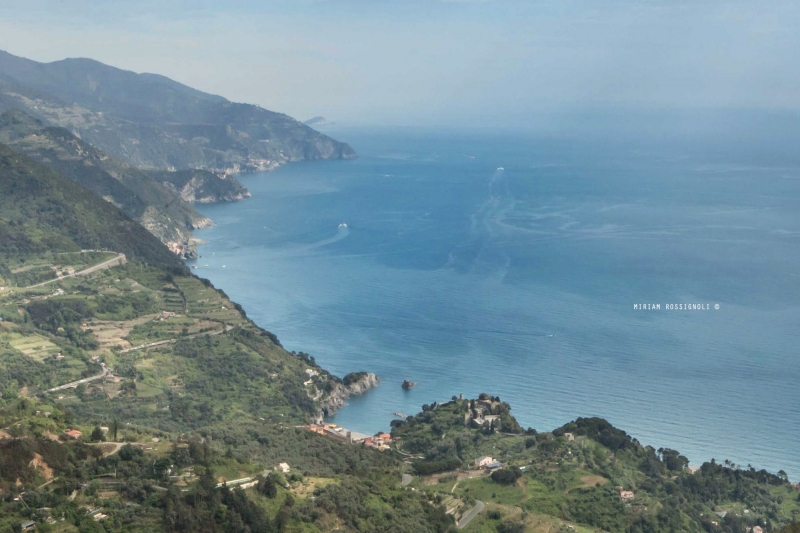
Once the tarmac road ends you move onwards to the real path to climb the steps up to the Mesco headland, approximately 300 metres high. The path takes you among the Mediterranean maquis populated by Mastic, Myrtle, Strawberry Tree, Broom, Dog Rose, etc… With excellent visibility on the summit you can see the islands of the Tuscan Archipelago and Corsica and you can enjoy the 360° panorama of the Gulf of the Cinque Terre and Palmaria and Tino islands. It’s not by chance that here you can find the ruins of the Monastery of St. Anthony, dating to 1000. The ruins of the apse with an arch and groin vault can still be admired. It was lived in until 1700 by monks who, paid by the Monterosso and Levanto locals, would notify them of any pirate ship sightings by lighting a fire. Other than the ruins of the monastery, the headland also has military buildings: the air-raid stations and a light signal station.
Following the SVA directions walk towards Levanto. Now you have reached the highest point, therefore the rest of the route does not have other climbs and gently descends near Levanto. Note the diversity of the ground structure: there is clay and sandstone, sedimentary soft rock, deposited by the sea in periods ranging from 100 to 60 million years ago.
The path allows you to catch a glimpse of some renewed houses, which for some time now have become part of the FAI (Italian Environmental Fund) restoration project. On we go towards a lush forest making the descent less scorching during the summer months. Every now and then you can catch a glimpse of the coast up to the cliff, an example of which is Gatta Point.
“La Gatta” is a point on the sea with some nearby sandstone quarry openings. Up to the 1830s the people of Levanto used to work here, traditionally sourcing food for dinner: fresh fish, wild herbs, etc. Local wives would learn to stuff pasta with these herbs, inventing the delicious “Gattafin”.
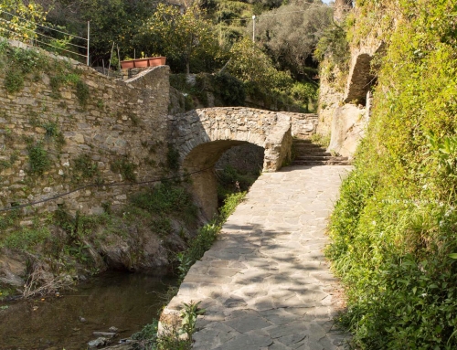
Gradually, the area was settled: farmhouses started to appear surrounded by terracing, cultivating olives and vegetables. Continue along a short section of tarmac, then returning to the path along the sea, at the first bend. Walk among the olive groves and a gathering of old houses where an engraving recalls Guglielmo Marconi’s radio-communication experiments carried out in that house. In 1895, Marconi created a system to transmit wireless signals at a distance, using electromagnetic waves. In the decades that followed, he perfected his transmission and reception tools, winning the Noble Prize for Physics in 1909.
The transmission mentioned on the plaque took place between Levanto and Santa Margherita Ligure, a distance of 36 km in a straight line. The plaque commemorating the event is difficult to see and the house where the experiment took place is now abandoned. Continuing along the path you reach Malaspina Castle dating back to the XII century, used to defend the hamlet, which was once surrounded by defensive walls. Levanto had an important past as a commercial port, the sea skimming the loggia of the Municipality from the XIII century, where the dockyard was located. The area allocated to warehouses and stores is calculated at 400 metres squared.
TIME: 2 H 30
DROP: 300MT.
PATH CODE: SVA
DIFFICULTY: AVERAGE
LENGHT: 5KM
More information check the Monterosso Walking APP


